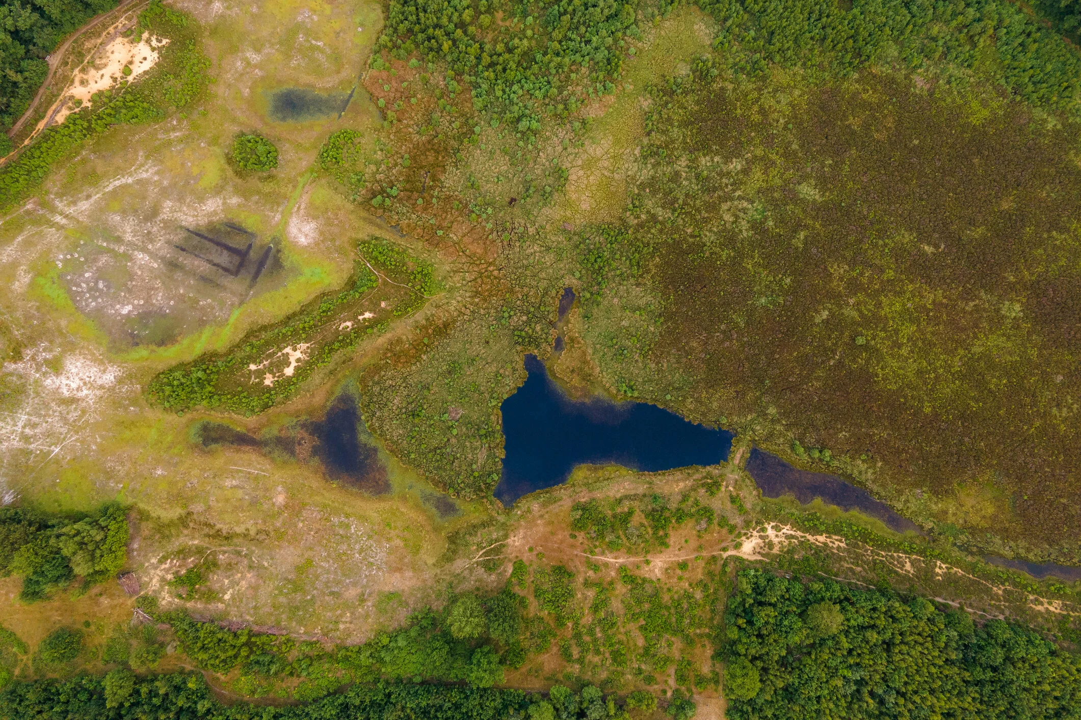


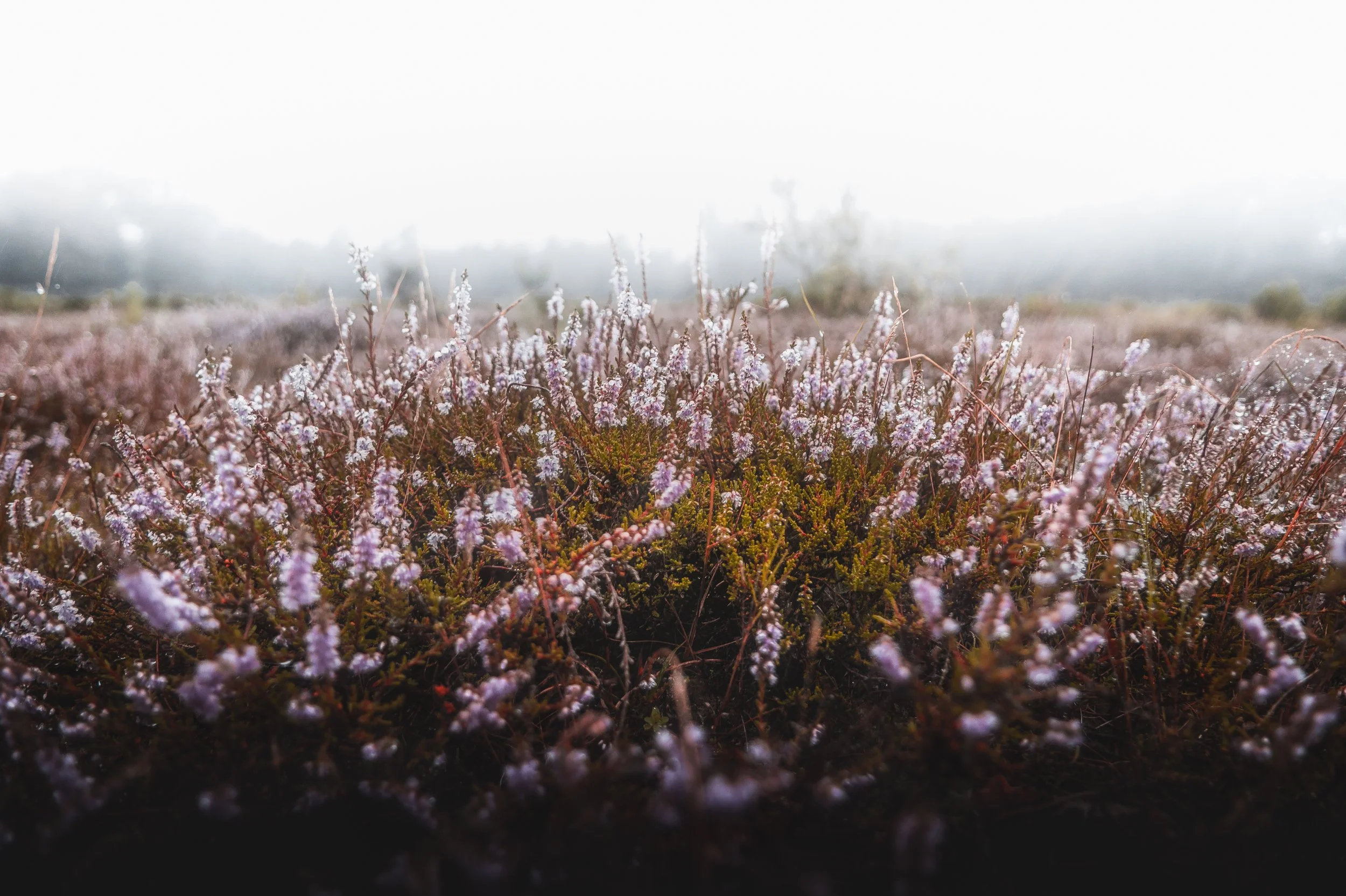


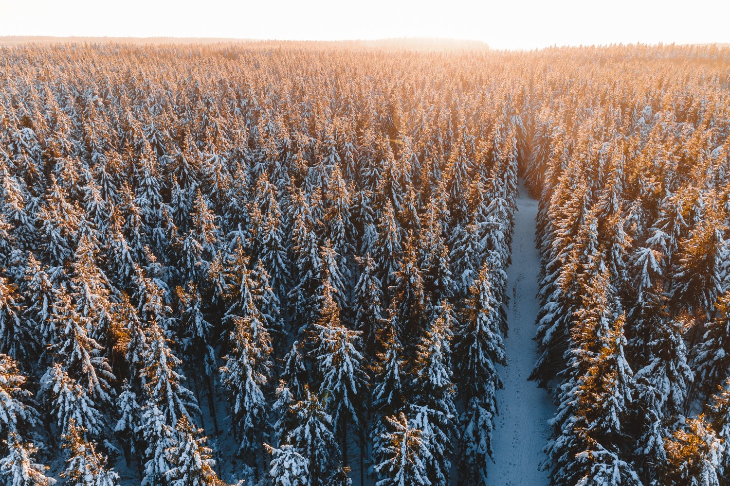


The Tuspeel measures 29 hectares and is probably the southernmost toponym that still contains the word 'peel'. With raised bog as the main feature of the area, the name is not so remarkable. Where 'tus' comes from is a mystery. It is a name that has been used for a long time; it was already called that at the beginning of the 20th century. From the very wet core of the area peat has never been dug away to disappear as peat in the stove. As a result, a number of characteristic species of a raised bog vegetation still occur here. The special area can be experienced from the edges. There are several freely accessible footpaths around the wet core.
The Tuspeel remains moist because of a loam layer in the soil. Peat formed in the depressions, but was not extracted as peat as in most of Limburg. This meant that the characteristic bog flora remained intact. This includes one-haired meadow grass and peat moss, white beak rush, sundew and in the pools floating pondweed and water thrift. Small cranberry, heather and lavender heather are also found. In the dry parts of the reserve one finds, among other things, spiny broom and sand blue.
The animal world includes: small green frog, two salamander species, more than ten species of dragonfly, greenhorn and phegea butterfly.
In the immediate vicinity of the area there are large ponds created by gravel extraction, in particular the Lange Vlieter, today a basin for the water supply company, and the recreational lake Lange Peel.


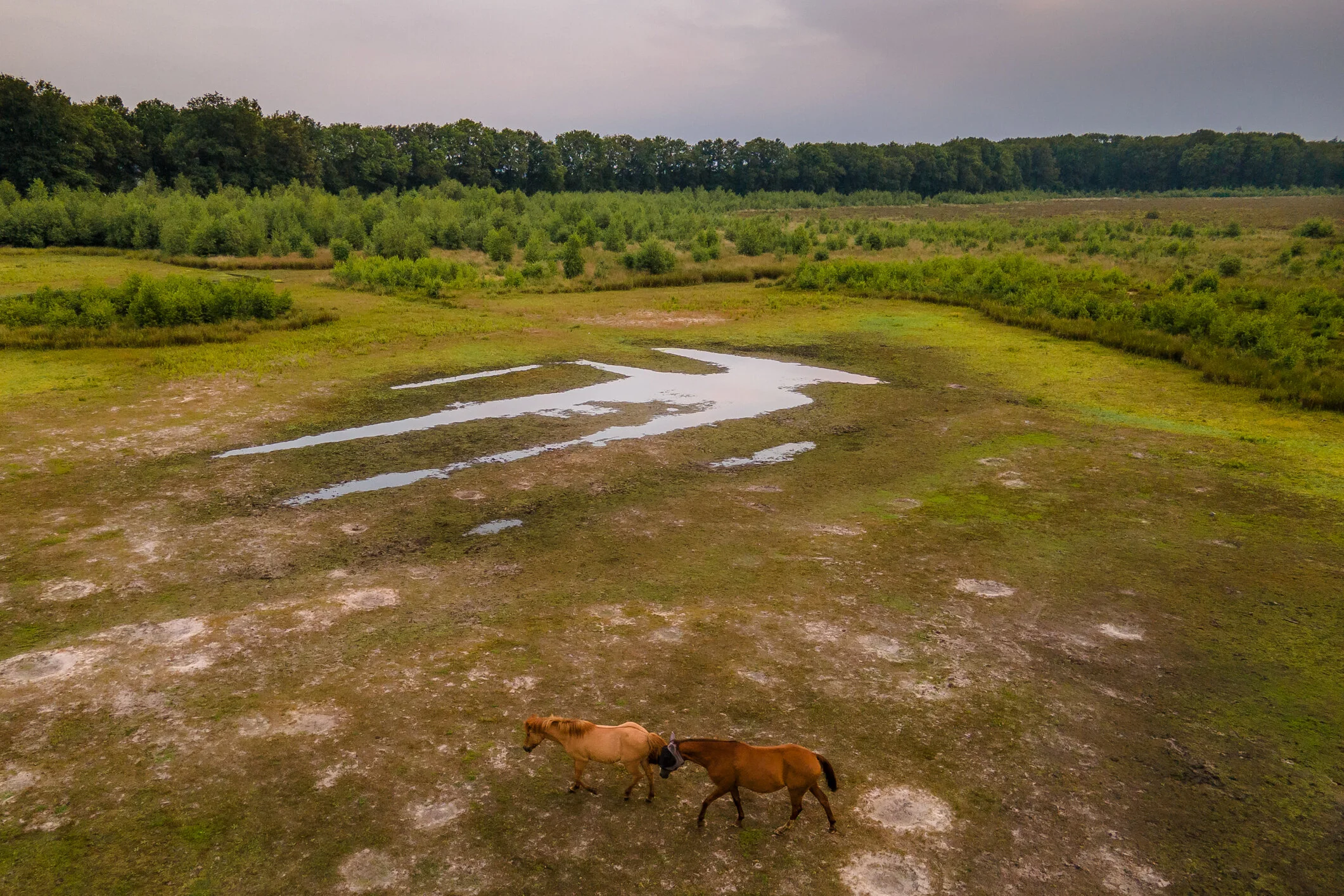
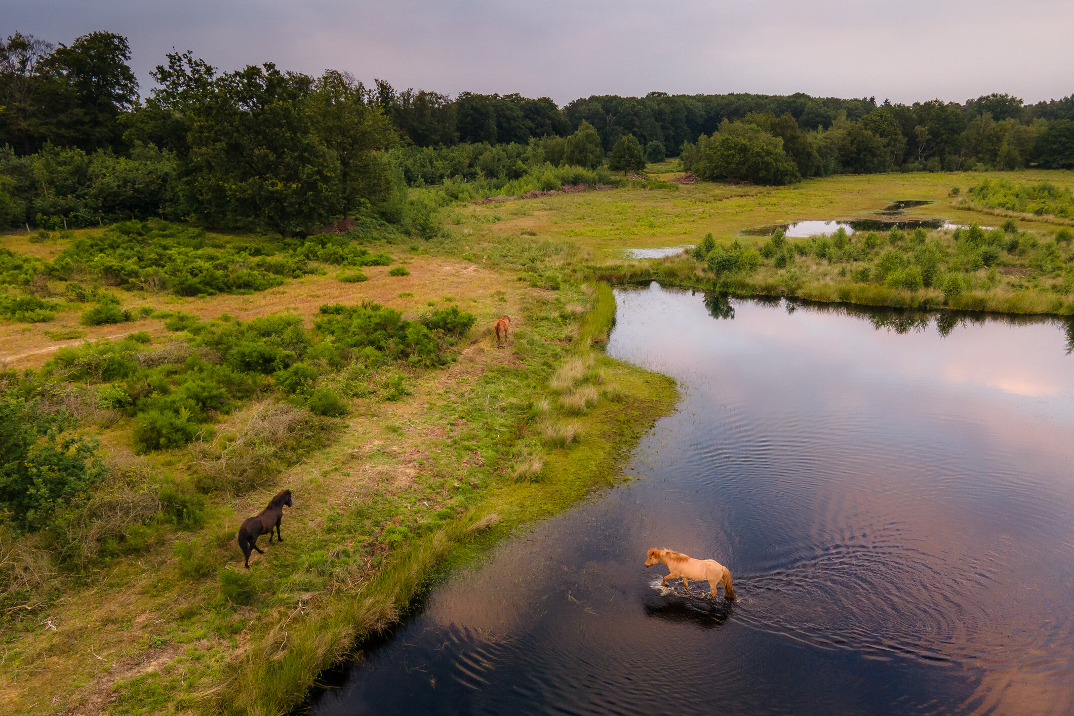
High drifting dunes around the bog core are planted with Scots pine and American oak. This is where the great spotted woodpecker and the green woodpecker nest. A small herd of horses graze the dry areas throughout the year, ensuring that most of the area does not become overgrown with birch forest.